Hydrographic data
Depth data
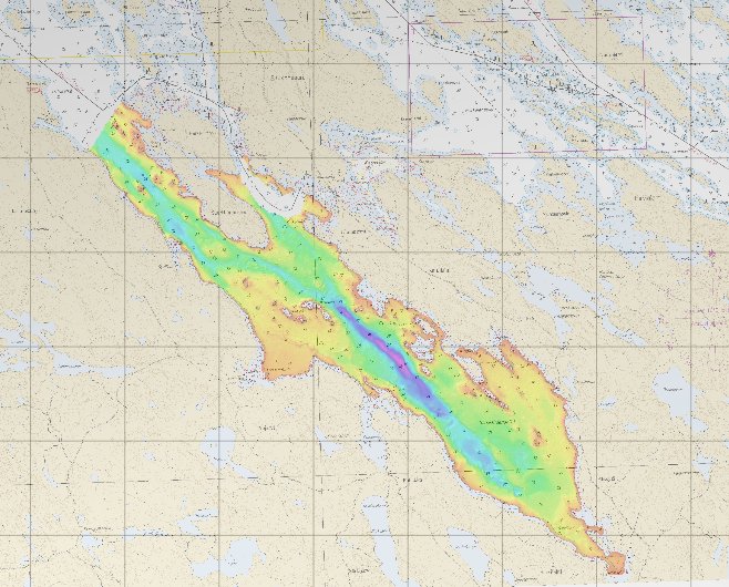
Depth data, such as depth contours, depth areas, and depth points, can be freely downloaded via the viewing and download service of the Finnish Transport and Communications Agency. The data is also available through an interface service.
Depth model products are available from the exclusive economic zone of the sea area as well as from the Vuoksi and Kymijoki water systems without a permit procedure. With a permit procedure, depth data can also be obtained from other Finnish sea areas. The coverage and reliability of the depth data vary depending on the time of measurement and location.
Nautical charts
Hydrographic data is compiled from a number of sources, the most important of which are bathymetric data, the fairway register, and the National Land Survey of Finland’s Topographic Database. The data is generalised into a range of scale levels for the corresponding nautical chart products. The object classes for which Traficom is responsible are available via the Download and View Service on the terms of the Hydrographic Data Licence or the CC BY 4.4 licence.
All hydrographic data belonging to the Finnish Transport and Communications Agency (Traficom) is protected under the Copyright Act. Access to the data for anything other than navigational purposes is enabled with an open data licence or the Hydrographic Data Licence (certain exceptions apply).
Traficom's hydrographic data is primarily accessible via Traficom’s Download and View Service and web services. Most of the material can be downloaded via the services, free of charge, with an open data licence with the exception of certain listed hydrographic data, which can also be downloaded free of charge for purposes other than navigational use when the conditions of the Hydrographic Data Licence (see “Use of and licences for data”, “Hydrographic Data Licence of the Finnish Transport and Communications Agency Traficom”) are met.
The navigational purpose shall be based on an agreement procedure. Enquiries regarding the procedure should be sent by email to copyright (at) traficom.fi
or via this form: PDF application/permit (pdf, 314.34 KB)
Terms of use of open hydrographic data
The above-mentioned hydrographic data is licensed under the Creative Commons 4.0
The Creative Commons 4.0 licence requires that you attribute the work in the manner specified by the author of the data.
Traficom requires that the source of depth data is attributed as follows:
“Source: The Finnish Transport and Communications Agency (Traficom). Not for navigational purposes. Does not meet the requirements set for official nautical charts.”
Navigational purposes refer to all maritime operations, including route planning, positioning, determining the best course and ensuring the vessel's safe passage.