N2000 fairway and nautical chart reform
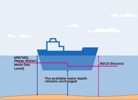
A new selection of nautical chart products and fairway depth information that are tied to the N2000 vertical coordinate reference system will be introduced gradually after the end of 2020. The reform process is set to begin in the Bay of Bothnia region and, according to current estimates, will reach full sea area coverage by 2026. The current, mean water level-based reference level for depth information for the sea area will be replaced with a reference level that is tied to the N2000 vertical coordinate reference system. The introduction of the N2000 vertical coordinate reference system, which is tied to the Earth's crust, will increase the compatibility of both national and international depth information.
