
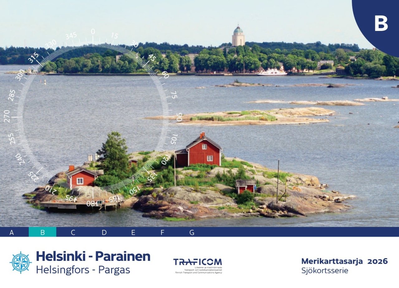
Updated Chart folio B provides more detailed information for waters between Helsinki and Parainen
The Finnish Transport and Communications Agency Traficom has published an updated edition of Chart folio B, covering the coastal area between Helsinki and Parainen. The chart folio contains more detailed hydrographic survey data and has also been updated to reflect changes to fairways and aids to navigation, cables, rock observations and marina information.
New symbol warns of difficult navigation areas
The chart folio introduces a new chart symbol for a difficult navigation area. An area marked with a black dash-dot line indicates very rocky waters where navigation requires particular caution.
The new charts also include a source data diagram. For each chart sheet, it indicates the quality of the survey data and helps boaters assess navigational safety, particularly when navigating outside fairways.
The sheet layout of Chart folio B has also been revised. Six chart sheets are shared with the current Chart folio D.
N2000 changes how depth and water level information is used
All depth and fairway information in Chart folio B has been updated to the N2000 height system. When using an N2000 chart, you must also check water level information referenced to the N2000 system. This ensures that the charted depth information and current water level can be interpreted correctly.
The update is part of the nationwide fairway and nautical chart reform, in which Finland is gradually converting its nautical charts and fairway information to the N2000 height system.
QR codes make it easier to keep charts up to date
Chart sheet-specific Notices to Mariners updates are now available via QR codes on the charts. The QR codes make it easier to keep nautical charts up to date by taking users directly to the updates for the relevant chart sheet.
Nautical chart reform moves on to the eastern Gulf of Finland
The new Chart folio B is now available from nautical chart distributors.
The N2000 fairway and nautical chart reform will next proceed to the eastern Gulf of Finland. Chart folio A, covering the area between Viipuri and Helsinki, is scheduled for publication in early 2027.