Hydrography
Hydrographic data services
Nautical publications
Sale and distribution of nautical charts
Notices to marines
Maritime charting news
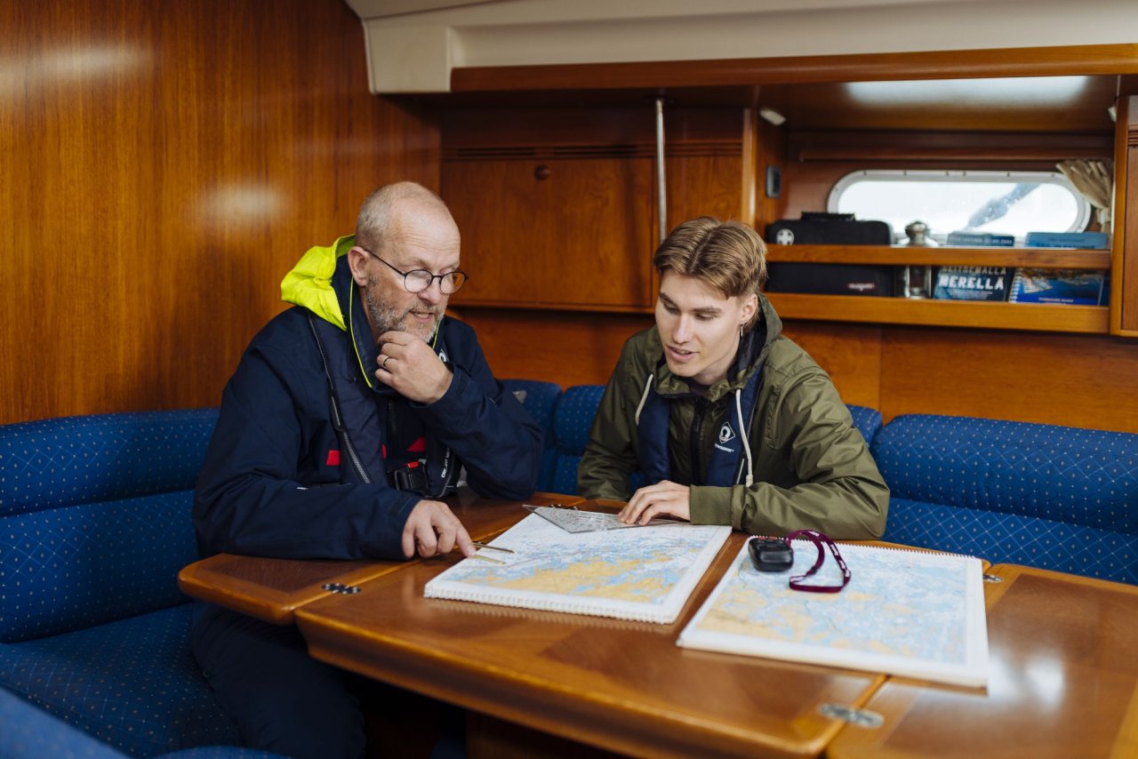
The Turku Archipelago receives a new and more detailed nautical chart series
, updated at 14:18The nautical chart series for the Turku Archipelago has been renewed. The charts are now based on the N2000 height system and include more detailed hydrographic survey data than before.
First S-100 test products ready for piloting
S-100 products provide the maritime sector with more accurate, up-to-date, and interoperable data, improving both safety and efficiency in navigation. In Finland, development has progressed to the piloting phase as part of the international collaboration under the Baltic Sea e-Nav project.
New S-100 standards guide the work towards new generation digital navigation products
In late 2024, the member states of the International Hydrographic Organization (IHO) adopted the first set of operational standards for S-100 navigation products and services. This milestone paves the way for the development of official products and services based on these standards, enabling authorities to provide seafarers with more up-to-date and high-quality information.
Uutiskirje
Tilaa merenkulun uutiskirje
Uutiskirje on suunnattu ammattimerenkulun toimijoille.
Ulkoinen verkkopalvelu.